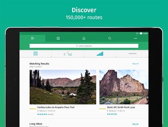
Find the trails you prefer
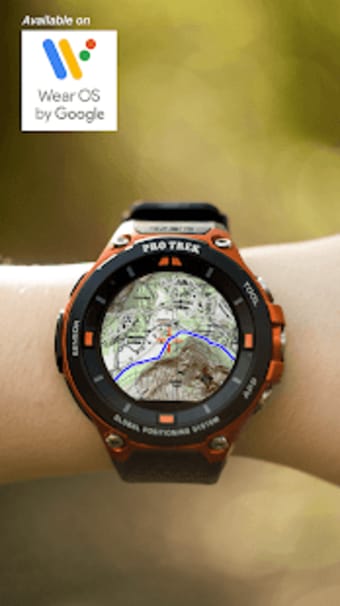
ViewRanger: Trail Maps for Hiking, Biking, Skiing—or simply ViewRanger—is a free lifestyle mobile app that allows you to plan your outdoor trips accordingly. Developed by Augmentra, this health and fitness app offers maps for outdoor activities and travels. You can use its features offline and it can sync with Wear OS-enabled smartwatches, which further helps in guiding you. However, take note that this app is now part of the Outdooractive app and won’t be updated much.
Is the ViewRanger app free?
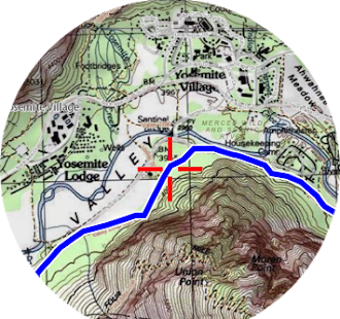
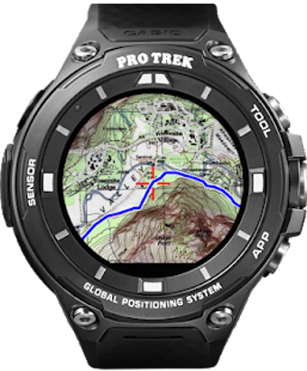
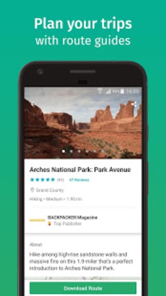
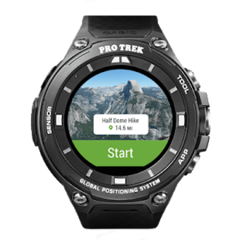
ViewRanger is basically a free travel app that’s designed for traversing trails—whether via hiking, biking, or even skiing. It offers highly-detailed maps sourced from OpenStreetMap contributors that include trails, roads, and popular travel paths to take on your journey. Aside from that, you can check out other information such as headings, bearings, latitude, longitude, and altitude. Plus, this app is also optimized for the Casio PRO TREK smartwatch.
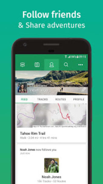
When you launch the app, you can log in using your account from either Google, Facebook, or Apple. You can also sign up with your email or simply skip this process and access the app as a guest. The main menu interface will immediately display the map, but you can access other tabs at the top of the screen. There are five of them, from left to right: Exploration, Map, Profile, Search, and Settings.
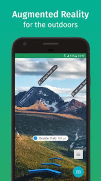
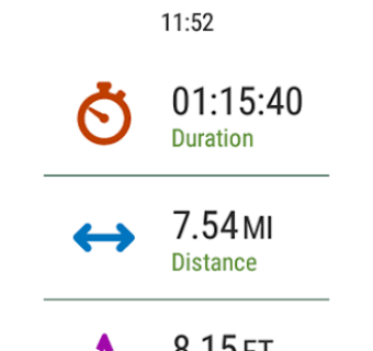
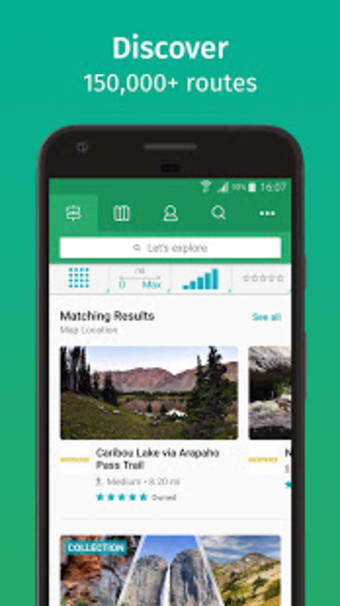
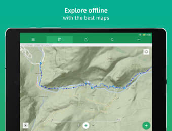
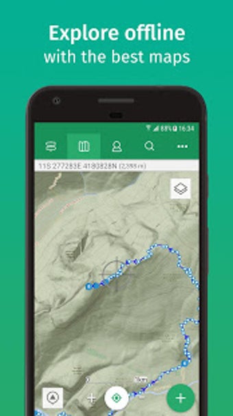
Exploration displays the available routes that can be filtered by the type of activity, the distance, the range of difficulty, and the user rating. The Map tab shows your area—with the Skyline feature letting you see points of interest. Profile has your data and stats to keep track of. Meanwhile, Search lets you find places by looking them up. Lastly, Settings has all of the general and specific functions like the BuddyBeacon and Challenges.
Not as great anymore
All in all, ViewRanger is a handy tool to have when you’re doing outdoor activities. It’s easy to use and even offers offline tools in case you lose your connection. However, now that it’s been integrated into another similar app, this one won’t be as updated and optimized as before. You can actually still use it but compared to other navigation apps, it isn’t performing its best anymore.